
Cycling is only allowed on designated paths from 1 April to 31 October.
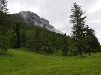
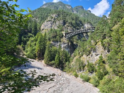
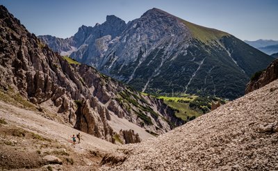
This Landscape Protection Area covers the southwestern part of the Karwendel Mountains. It extends from the Reither Spitze in the west to the Höttinger Graben in the east and includes the southern slope of the western Nordkette on the territory of the provincial capital Innsbruck and the municipalities of Zirl and Reith. In terms of landscape, the area represents a colorful mixture of a primeval landscape with inaccessible mountain stream gorges, steep-slope forests of pines and spruces, and a wide variety of traditional cultivated landscape areas, such as grass-rich larch meadows. These flower-rich meager sites are particularly impressive, as it were, in the summer months as well as during the autumnal leaf coloration of the larch.
| Location | Austria - Tyrol - Innsbruck-Land, Innsbruck-Stadt |
| Website | https://www.karwendel.org/ |
| Area | 49.29km² |
| IUCN Category | V |
| DtP ID | 421706dc-a9b4-4a86-a88a-f5b9b45d7955 |
| Name and division |
Naturpark Karwendel
|
| Website | https://www.karwendel.org/ |
| Address |
Show address Hide address
Unterer Stadtplatz 19
6060 Hall in Tirol Austria |
Cycling is only allowed on designated paths from 1 April to 31 October.


Motor vehicles are only allowed on public roads.
Motorized watercraft are forbidden.
Overnight stays are forbidden.
Drones and model aircraft are forbidden.
Authorization Required
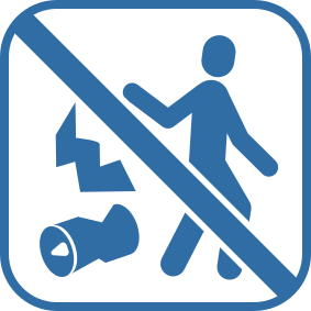
Disposing of waste is forbidden.

Fire is forbidden.

Dogs on a leash are allowed.

Collecting plants is forbidden.
The prohibition concerns the plant species listed in the Habitats-Directive.

Mushroom collecting is forbidden.
The prohibition concerns the species of fungi mentioned in the Habitats-Directive

Noise (tape recorders, players) is forbidden.