Entering off the beaten path is forbidden.
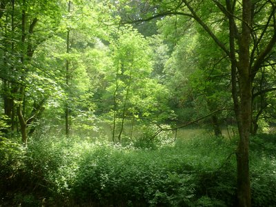
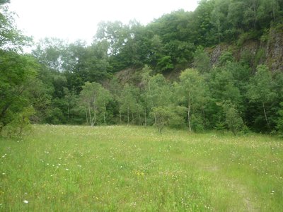
The Bacher Lay is a 44.7-hectare nature reserve in the Westerwald district in Rhineland-Palatinate and a geotope of the Westerwald-Lahn-Taunus Geopark.
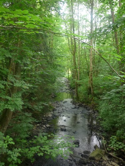
The Bacher Lay is a disused basalt quarry located between Bad Marienberg and Nisterau directly on the Schwarze Nister, a tributary of the large Nister. The name is derived from the formerly independent village of Bach, which is now part of the municipality of Nisterau; ‘Lay’ in this context means quarry. The area extends partly over the districts of Bad Marienberg, Bach, Eichenstruth and Stockhausen-Illfurth. The Bacher Lay is characterised by a mighty, almost vertical basalt rock face, which was created by the former basalt quarrying. The ‘Pfaffenmal’, an 18 metre high columnar basalt cone in a milestone position, is also located nearby and is well worth seeing.
| Location | Germany - Rheinland-Pfalz - Westerwaldkreis |
| Website | https://berichte.naturschutz.rlp.de/oneo/nsg/NSG-7100-267 |
| Area | 40.79ha |
| Year of foundation | 1996 |
| IUCN Category | IV |
| DtP ID | 8c534d94-268d-426c-a3e6-f30fcaa6f64e |
| Name and division |
Stiftung Natur und Umwelt Rheinland-Pfalz
|
| Website | https://snu.rlp.de/ |
| Address |
Show address Hide address
Diether-von-Isenburg-Straße 7
55116 Mainz Germany |
Entering off the beaten path is forbidden.
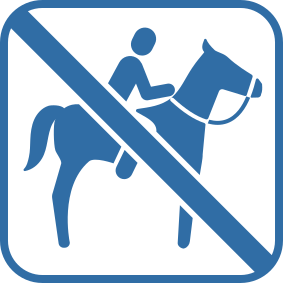
Horse riding is forbidden.

Motor vehicles are forbidden.

Water sport is forbidden.
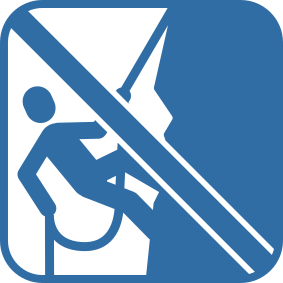
Climbing is forbidden.

Camping is forbidden.

Camping and bivouacking is forbidden.

Camping with vehicles and trailers is forbidden.

Disposing of waste is forbidden.

Fire is forbidden.

Dogs on a leash are allowed.

Cutting or injuring trees is forbidden.

Collecting plants is forbidden.

Swimming is forbidden.

Photography and filming is forbidden.
It is prohibited to visit, photograph, or film animals at their nesting, breeding, living, or refuge sites.