
Faire du vélo est uniquement autorisé sur les chemins désignés du 1er avril au 31 octobre.
La traduction française de cette plateforme a été créée avec l’aide de l’IA. Si vous remarquez des erreurs, les contributions de la communauté pour l’améliorer sont les bienvenues ; veuillez nous envoyer un e-mail à platform@digitizetheplanet.org.
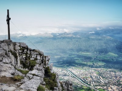
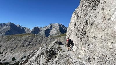
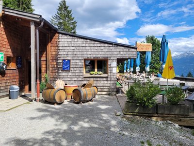
This protected area is located on the southern slope of the Nordkette on the territory of the provincial capital Innsbruck and the municipalities of Rum, Absam and Thaur. The Nordkette Landscape Protection Area represents the classic local recreation area of Innsbruck, where numerous paths and trails lead to managed alpine pastures, such as the Rumer Alm, the Thaurer Alm or the Enzianhütte. Less known is the fact that the Karwendel Nature Park ensures the drinking water supply of the provincial capital with the water from the Mühlau springs.
| Emplacement | Autriche - Tyrol - Innsbruck-Land, Innsbruck-Stadt |
| Site Web | https://www.karwendel.org/ |
| Zone | 18,26km² |
| Catégorie UICN | V |
| DtP ID | 8f988d05-cd7c-4158-abe8-2aa6eb0b964a |
| Nom et division |
Naturpark Karwendel
|
| Site Web | https://www.karwendel.org/ |
| Adresse |
Afficher l'adresse Masquer l'adresse
Unterer Stadtplatz 19
6060 Hall in Tirol Autriche |
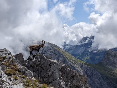
Faune
Faire du vélo est uniquement autorisé sur les chemins désignés du 1er avril au 31 octobre.


Utiliser des véhicules motorisés est uniquement autorisé sur les voies publiques.
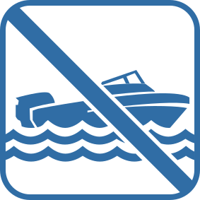
Utiliser des embarcations motorisées est interdit.
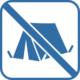
Camper est interdit.
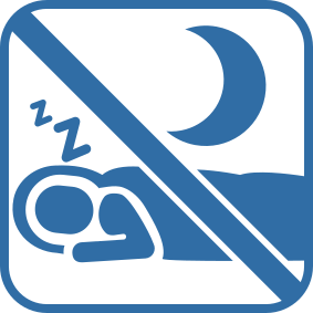
Camper ou bivouaquer est interdit.
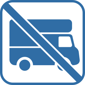
Camper avec un véhicule ou une remorque est interdit.
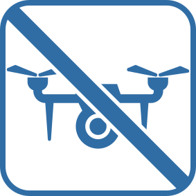
Faire voler des drones ou des modèles réduits est interdit.
Authorization Required
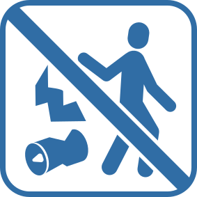
Jeter des déchets est interdit.
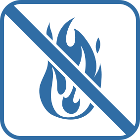
Allumer un feu est interdit.
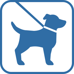
Promener des chiens en laisse est autorisé.
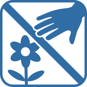
Cueillir des plantes est interdit.
The prohibition concerns the plant species listed in the Habitats-Directive.
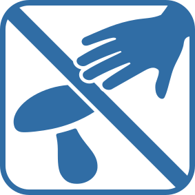
Ramasser des champignons est interdit.
The prohibition concerns the species of fungi mentioned in the Habitats-Directive
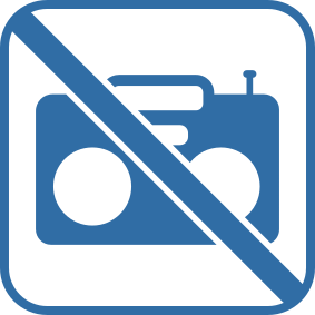
Faire du bruit avec des appareils audio est interdit.