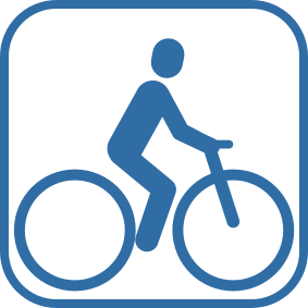

Ježdění na kole je povoleno pouze na vyhrazených cestách.
Limited time.
Tato platforma byla přeložena s pomocí umělé inteligence. Pokud si všimnete chyb, uvítáme příspěvky komunity; napište nám prosím na platform@digitizetheplanet.org.

Landscape Classification of Kalkalpen National Park 81% forest 8% mountain pine 6% alpine pastures and Meadows 5% rock and scree Austria´s first World Natural Heritag beech forests The beech forests of the Kalkalpen National Park and the primeval beech forest of the Dürrenstein Wilderness Area represent the beech distribution area of the Alps. Together, the two protected areas bring about 7,120 hectares of beech forests into the World Heritage Site.
Kalkalpen National Park Östlicher Sengsengebirgsgrat © Sieghartsleitner The Sengsengebirge is a northern outpost of the Limestone Alps. The ca. 20 km long main ridge reaches its highest point at the Hoher Nock (1,963 m). The name Sengsengebirge can be traced back to the use of the forests as a source of energy for the numerous scythe smithies once located here. Hintergebirge © Mayrhofer The Reichraminger Hintergebirge is one of Austria's largest distinct forest areas - a sea of forest, which has not yet been dissected by public transportation routes and human habitation. Here, you will also find one of the longest intact stream systems of the Eastern Alps. Old shelters and overgrown trails remind us today of how wood was used and harvested in earlier times. Facts & Figures Established: July 25, 1997 Area: 20,850 ha Zoning: 89% nature zone, 11% conservation area Property: 88% federally owned (Austrian Forestry Service), 11% privately owned, and 1% municipal property Internationally recognized: as a national park (IUCN category II) since 1998, Ramsar protected area (wetland of global importance), and Natura 2000 area (European nature reserve) since 2004 Elevation: 385 to 1,963 m (Hohe Nock) Main types of rock: Wetterstein limestone, primary Dolomite
| Poloha | Austria - Upper Austria - Kirchdorf an der Krems, Steyr-Land |
| Webové stránky | https://www.kalkalpen.at |
| Území | 208,31km² |
| Rok založení | 1997 |
| Kategorie IUCN | II |
| DtP ID | a7633565-91e1-4226-a2bd-60720c4641f5 |
| Název a oddělení |
Nationalpark OÖ Kalkalpen
IT & Wissensmanagement |
| Webové stránky | https://www.kalkalpen.at |
| Adresa |
Zobrazit adresu Skrýt adresu
Nationalpark Allee 1
4591 Molln Rakousko |
Ježdění na kole je povoleno pouze na vyhrazených cestách.
Limited time.
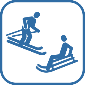
Provozování zimních aktivit je povoleno pouze ve vyhrazených oblastech.

Ježdění na koni je povoleno pouze na vyhrazených cestách.
Limited time.


Používání motorových vozidel je povoleno pouze na veřejných komunikacích.
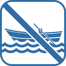
Používání nemotorových plavidel je zakázáno.
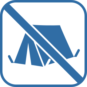
Táboření je zakázáno.
Only in designated areas (bivouac site Steyrsteg and Weisswasser) allowed. Limited time May to October.

Vzlétnutí a přistání při leteckých sportech je zakázáno.
Only in designated areas according to the Management Plan Act § 16 Departure (Schillereck, Hohen Nock, Kleinerberg) and Overflight Zones allowed.

Používání dronů a modelů letadel je zakázáno.

Odkládání odpadu je zakázáno.

Rozdělávání ohně je zakázáno.
Only in designated areas (bivouac areas) in compliance with the currently valid forest fire protection regulations.

Psi musí být na vodítku.

Sbírání rostlin je zakázáno.

Sbírání hub je zakázáno.
Collecting mushrooms is permitted in the management zone (alpine pastures) for personal use.

Rybaření je zakázáno.
Land Oberösterreich - 1. ledna 1996
Republik Österreich und Land Oberösterreich - 1. ledna 1997
Ramsar Convention Resolution VI.5 - 1. ledna 2004
Land Oberösterreich - 21. července 1997
Land Oberösterreich - 1. ledna 2005
UNESCO World Heritage Convention - 1. ledna 2017